|
|
 |
|||||||
|
Remote Sensing | ||||||||
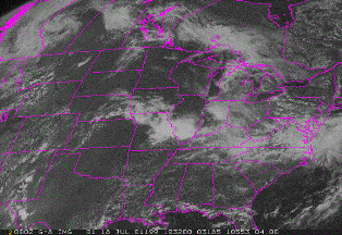
Remote sensing by satellite has been successfully used in Bundelkhand to identify and tap groundwater resources in areas where stubewells have yielded little water or failed. A preliminary survey of the region was done by the National Remote Sensing Agency in 1980. Subsequently, a Remote Sensing Applications Centre (RSCA) was set up in Jhansi. Till March 1996, RSCA recommended some 7000 sites for further geophysical surveys; over half the sites were found suitable for drilling and according to the then director of the centre, Rajiv Mohan, nearly 90% of the drillings were successful, yielding discharge varying from 500 to 36,000 gallons per hour. The most spectacular success was with respect to Jhansi city's water supply scheme. Till 1991, the city depended almost entirely on surface water and the municipality could supply 27 million litres per day (MLD), which translated to less than 87 litres per capita per day. One the basis of satellite and aerial remote sensing data, and subsequent tests, a 'well field' was delineated at a distance of around 16 km from the city. Drillings here in 1992 provided an additional 9 MLD to the city. Similar work was done near Banda city, in southern Lalitpur district and parts of Jalaun, Hamirpur and Mahoba districts. There is good scope for use of this technology in several Bundelkhand districts like Panna, where level of groundwater exploitation is low. exploitation is low. |
||||||||